See also: • AA Route Maps
Source:
• David Rumsey Historical Map Collection
Link to their excellent scanning:
• AA Map - zoom in!
Click on map for a larger image!
and still larger at Rumseys.
For route maps, use my link at top right.


• Flygkartor AA System Overview Map • Air_Maps
|
This map shows American Airlines Inc. system of flight routes around 1945.
The first version of this map was published in 1938! See also: • AA Route Maps Source: • David Rumsey Historical Map Collection Link to their excellent scanning: • AA Map - zoom in! Click on map for a larger image! and still larger at Rumseys. For route maps, use my link at top right. |
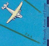
Map details: US flying boat Boeing 314 was used for cross-Atlantique flights
from June 1936 for three monhts, until WWII broke out.
|
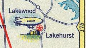
In 1936 airship Hindenburg made ten passenger flights between Europe and Lakehurst south of New York.
But in June 1937 it exploded on landing at Lakehurst.
|

|
||
Last updated: 8 April, 2012, Bo Justussson, Stockholm
Contact: justusXownit.nu - change X to @